Vũng Tàu, Ho Chi Minh City
Vũng Tàu
Phường Vũng Tàu | |
|---|---|
 Aerial view of Front Beach | |
| Nickname: au Cap (Ô Cấp; means at the cape) | |
Interactive map of Vũng Tàu | |
| Coordinates: 10°21′03″N 107°04′12″E / 10.35083°N 107.07000°E | |
| Country |  Vietnam Vietnam |
| Municiality | Ho Chi Minh City |
| Established | July 1, 2025[1] |
| Area | |
• Total | 6.51 sq mi (16.86 km2) |
| Population | |
• Total | 117,413 |
| Time zone | UTC+07:00 (Indochina Time) |
| Administrative code | 26506[2] |
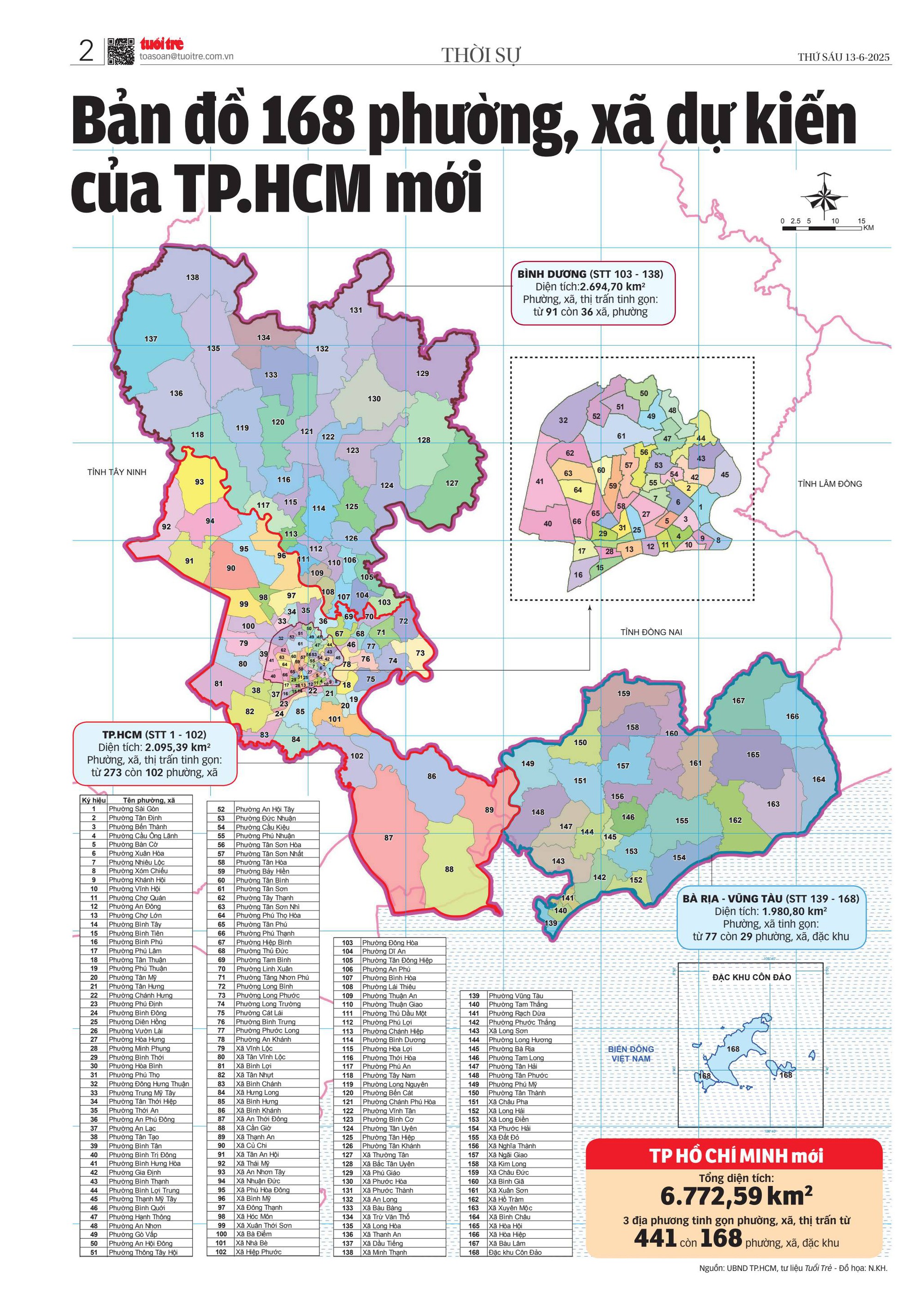
Vũng Tàu (Vietnamese: Phường Vũng Tàu) is a ward of Ho Chi Minh City, Vietnam. It is one of 168 new wards, communes and special zones of the city following the reorganization in 2025.[3][4]
Geographical location
Vũng Tàu Ward is the coastal ward in the southern part of Ho Chi Minh City, about 95 km Southeast of Saigon ward, about 25 km Southwest of Bà Rịa ward, part of the centre Vũng Tàu former city. Simultaneously, it is also the location of Nghinh Phong cape, the most southern part of Ho Chi Minh City on land, the ward borders to:
- Tam Thắng ward to the East,
- Cần Giờ commune to the Northwest by Gành Rái Bay
- The rest is South China Sea.[5]
According to Official Dispatch No. 2896/BNV-CQDP dated May 27, 2025, of the Ministry of Home Affairs, following administrative reorganization, the newly established Vũng Tàu ward has an area is 16,86 km²,, the population as of December 31, 2024 is 117,413 people, the population density is 6,963 people/km² (Article 6 of Resolution No. 76/2025/UBTVQH15 dated April 14, 2025 of the Standing Committee of the National Assembly[6]).
History
June 16, 2025, the Standing Committee of the National Assembly issued Resolution No. 1685/NQ-UBTVQH15 on the arrangement of commune-level of Ho Chi Minh City in 2025.[7] Accordingly, the entire wards of 1, 2, 3, 4, 5, Thắng Nhì and Thắng Tam of the former Vũng Tàu city, Bà Rịa – Vũng Tàu province are merged to be reorganized as Vũng Tàu Ward (Clause 102, Article 1).[8]
Vũng Tàu ward administrative centre is the former location of Vũng Tàu City Hall.[9]
Name origins
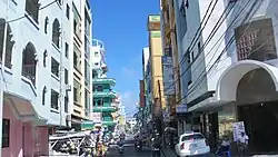
In the 2025 administrative reorganization of communes, in order to commemorate and honor the ancestors who contributed to the development, preservation, and protection of the land of present-day Bà Rịa–Vũng Tàu area, the province in particular and Ho Chi Minh City in general have chosen new commune and ward names associated with famous tourist destinations, possessing long-standing historical and cultural elements, revolutionary lands, etc., such as Bà Rịa, Vũng Tàu, Đất Đỏ, Hồ Tràm,...[10][11]
As Vũng Tàu ward consists most of the historic downtown of the former City of Vũng Tàu, including the Front Beach, Strawberry Beach (Bãi Dâu), Pineapple Beach (Bãi Dứa), and part of Back Beach, Sao Mai Bến Đình quarter, also the Big Mount and Small Mount (Núi Lớn và Núi Nhỏ), it is responsible to bear the name of the former city.
Hình ảnh
-
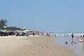 Back Beach (Bãi Sau)
 -
 View of Front Beach (also known as Thùy Vân Beach)
 -
.jpg) Front Beach Park
Front Beach Park -
 Park
Park -
.jpg)
-
 Lê Lợi Street
 -
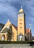 Vũng Tàu Church
 -
 Christ of Vũng Tàu on Mount Nhỏ
 -
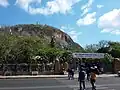 Road to Christ of Vũng Tàu
 -
.jpg) Corner of the ward
Corner of the ward -
 Vũng Tàu Lighthouse
 -
.jpg) Hạ Long Street
Hạ Long Street -
 Vũng Tàu aerial view
 -
 Vũng Tàu aerial view
 -
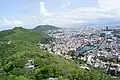 Vũng Tàu aerial view
 -
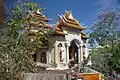 Hộ Pháp Pagoda of Thích Ca Phật Đài architects group
 -
 Thùy Vân Street
 -
 Trần Phú Road stretch across the ward
 -
 Aerial tramway in Vũng Tàu
 -
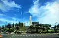 Vũng Tàu Martyrs' Monument
References
- ^ "QUỐC HỘI THÔNG QUA NGHỊ QUYẾT SẮP XẾP ĐƠN VỊ HÀNH CHÍNH CẤP TỈNH". xaydungchinhsach.chinhphu.vn (in Vietnamese). Chính phủ Việt Nam. 2025-06-18. Retrieved 2025-06-22.
- ^ "Quyết định số 19/2025/QĐ-TTg của Thủ tướng Chính phủ: Ban hành Bảng danh mục và mã số các đơn vị hành chính Việt Nam" (PDF). Viet Nam Government Portal.
- ^ ONLINE, TUOI TRE (2025-06-16). "Chi tiết mới nhất về 168 phường, xã của TP.HCM sau sáp nhập". TUOI TRE ONLINE (in Vietnamese). Retrieved 2025-12-12.
- ^ Báo Pháp Luật TP. Hồ Chí Minh (2025-06-25). "Tra cứu chi tiết 3.321 phường, xã, đặc khu của 34 tỉnh, Thành phố sau sắp xếp lại bộ máy". Báo Pháp Luật TP. Hồ Chí Minh (in Vietnamese). Archived from the original on 2025-10-09. Retrieved 2025-12-12.
- ^ "Bản đồ 168 phường, xã dự kiến của TP.HCM mới". tuoitre.vn. 2025-06-13.
- ^ xaydungchinhsach.chinhphu.vn (2025-05-14). "NGHỊ QUYẾT SỐ 76/2025/UBTVQH15 SẮP XẾP ĐƠN VỊ HÀNH CHÍNH NĂM 2025". xaydungchinhsach.chinhphu.vn (in Vietnamese). Retrieved 2025-06-22.
- ^ xaydungchinhsach.chinhphu.vn (2025-06-20). "Nghị quyết số 1685/NQ-UBTVQH15 sắp xếp các ĐVHC cấp xã của Thành phố Hồ Chí Minh năm 2025". xaydungchinhsach.chinhphu.vn (in Vietnamese). Retrieved 2025-06-22.
- ^ thanhnien.vn (2025-04-15). "TP.HCM sáp nhập phường: Gò Vấp dự kiến còn 6 phường". thanhnien.vn (in Vietnamese). Retrieved 2025-06-25.
- ^ ONLINE, TUOI TRE (2025-06-27). "Địa chỉ, tên phường xã ở Bà Rịa - Vũng Tàu sau sáp nhập với TP.HCM từ 1-7". TUOI TRE ONLINE (in Vietnamese). Retrieved 2025-06-27.
- ^ ONLINE, TUOI TRE (2025-03-19). "Nhiều tên phường ở Vũng Tàu có từ thời nhà Nguyễn, nên giữ lại tên nào?". TUOI TRE ONLINE (in Vietnamese). Retrieved 2025-06-27.
- ^ "Lý do Bà Rịa - Vũng Tàu chọn tên gọi Vũng Tàu, Hồ Tràm, Đất Đỏ cho xã phường mới". vietnamnet.vn (in Vietnamese). 2025-04-17.
| Wards (113) |
|  |
|---|---|---|
| Communes (54) |
| |
| Special administrative region (1) | ||