Wharekahika River
| Wharekahika River | |
|---|---|
Route of the Wharekahika River | |
.png)  Mouth of the Wharekahika River 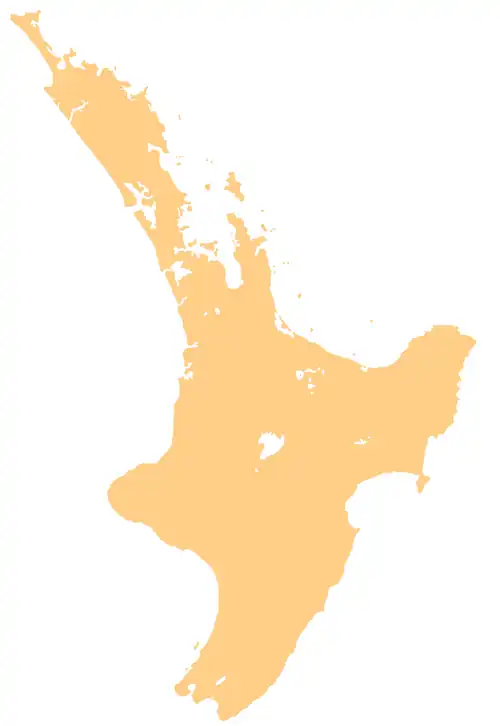 Wharekahika River (North Island) | |
| Location | |
| Country | New Zealand |
| Physical characteristics | |
| Source | Confluence of Ōweka Stream and Mangapurua Stream |
| • coordinates | 37°34′14″S 178°08′51″E / 37.57047°S 178.14743°E |
| Mouth | |
• location | Wharekahika / Hicks Bay |
• coordinates | 37°34′27″S 178°17′34″E / 37.57417°S 178.29278°E |
| Length | 24 km (15 mi) |
| Basin features | |
| Progression | Wharekahika River → Wharekahika / Hicks Bay → Pacific Ocean |
| Tributaries | |
| • left | Tapirau Stream, Makarae Stream |
| • right | Mangaomeko Stream, Mangatutu Stream |
| Bridges | Wharekahika Bridge |
The Wharekahika River is a river of the Gisborne Region of New Zealand's North Island. It flows east, its course paralleling the north coast of the Gisborne Region, and reaches the sea at Hicks Bay.[1]
See also
References
- ^ "Place name detail: Wharekahika River". New Zealand Gazetteer. Land Information New Zealand. Retrieved 19 November 2025.