Kōpuapounamu River
| Kōpuapounamu River | |
|---|---|
Route of the Kōpuapounamu River | |
.png)  Mouth of the Kōpuapounamu River 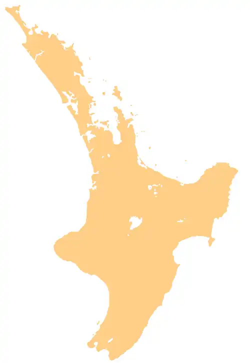 Kōpuapounamu River (North Island) | |
| Location | |
| Country | New Zealand |
| Physical characteristics | |
| Source | |
| • location | Raukūmara Range |
| • coordinates | 37°45′30″S 178°07′17″E / 37.75823°S 178.12134°E |
| Mouth | |
• location | Awatere River |
• coordinates | 37°41′43″S 178°19′04″E / 37.69516°S 178.31778°E |
| Basin features | |
| Progression | Kōpuapounamu River → Awatere River → Kawakawa Bay → Pacific Ocean |
| Tributaries | |
| • left | Pōhue Stream, Mākākāriki Stream, Te Whairepo Stream, Kakiotemoa Stream, Te Puia Stream |
| • right | Matawera Stream, Waihora Stream, Mangakiokio Stream, Matawera Stream |
The Kōpuapounamu River is a river of the northeast of New Zealand's North Island. It flows east from the eastern end of the Raukūmara Range, reaching the Awatere River 6 kilometres (4 mi) south of Te Araroa.[1]
See also
References
- ^ "Place name detail: Kōpuapounamu River". New Zealand Gazetteer. Land Information New Zealand. Retrieved 13 December 2025.