West Lealman, Florida
West Lealman, Florida | |
|---|---|
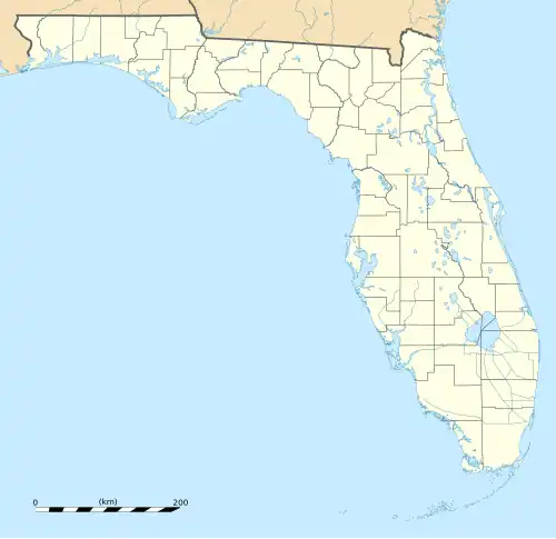  West Lealman, Florida | |
| Coordinates: 27°49′15″N 82°44′47″W / 27.82083°N 82.74639°W | |
| Country | United States |
| State | Florida |
| County | Pinellas |
| Area | |
• Total | 3.27 sq mi (8.47 km2) |
| • Land | 3.15 sq mi (8.15 km2) |
| • Water | 0.12 sq mi (0.32 km2) |
| Elevation | 13 ft (4.0 m) |
| Population (2020) | |
• Total | 16,438 |
| • Density | 5,224.6/sq mi (2,017.24/km2) |
| Time zone | UTC-5 (Eastern (EST)) |
| • Summer (DST) | UTC-4 (EDT) |
| Area code | 727 |
| FIPS code | 12-76481 |
| GNIS feature ID | 2583388[2] |
West Lealman is a census-designated place (CDP) in Pinellas County, Florida, United States. The population was 15,651 at the 2010 census.[3] Prior to 2010, West Lealman was part of a larger CDP named West and East Lealman.
Geography
West Lealman is bordered by the city of Pinellas Park to the northeast, St. Petersburg to the south, and by the town of Kenneth City to the east. Long Bayou and Cross Bayou border the CDP to the west, with the city of Seminole on the opposite shore of Cross Bayou.
According to the United States Census Bureau, the CDP has a total area of 3.2 square miles (8.3 km2), of which 3.1 square miles (8.1 km2) is land and 0.08 square miles (0.2 km2) (1.96%) is water.[4]
Demographics
| Census | Pop. | Note | %± |
|---|---|---|---|
| 2020 | 16,438 | — | |
| U.S. Decennial Census[5] | |||
References
- ^ "2020 U.S. Gazetteer Files". United States Census Bureau. Retrieved December 2, 2021.
- ^ a b U.S. Geological Survey Geographic Names Information System: West Lealman, Florida
- ^ "Profile of General Population and Housing Characteristics: 2010 Demographic Profile Data (DP-1): West Lealman CDP, Florida". United States Census Bureau. Retrieved May 15, 2012.
- ^ "Geographic Identifiers: 2010 Demographic Profile Data (G001): West Lealman CDP, Florida". United States Census Bureau. Retrieved May 15, 2012.
- ^ "Census of Population and Housing". Census.gov. Retrieved June 4, 2016.
Municipalities and communities of Pinellas County, Florida, United States | ||
|---|---|---|
| Cities |  | |
| Towns | ||
| CDPs | ||
| Unincorporated communities | ||
| ||