Schnebelhorn
| Schnebelhorn | |
|---|---|
 Aerial view of the summit and surroundings | |
| Highest point | |
| Elevation | 1,291.9 m (4,239 ft) |
| Prominence | 112 m (367 ft)[1] |
| Parent peak | Tweralpspitz |
| Isolation | 3.0 km (1.9 mi)[2] |
| Listing | Canton high point |
| Coordinates | 47°19′32.2″N 8°58′46.7″E / 47.325611°N 8.979639°E |
| Geography | |
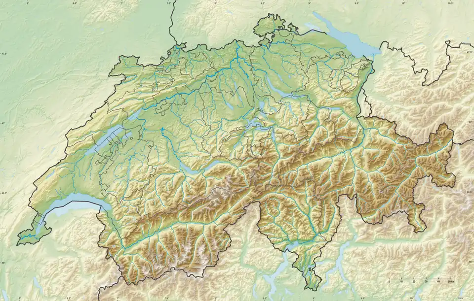  Schnebelhorn Location in Switzerland 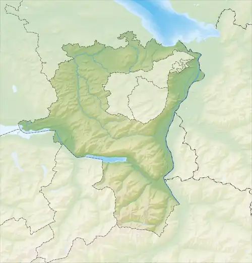 Schnebelhorn Location in the canton of St. Gallen 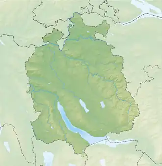 Schnebelhorn Location in the canton of Zurich | |
| Location | |
| Country | Switzerland |
| Parent range | Appenzell Alps |
The Schnebelhorn is a mountain located near Fischenthal in the Töss Valley, between the cantons of Zurich (Oberland region) and St. Gallen (Toggenburg). At 1,291 m (4,236 ft), it is the highest summit of the canton of Zurich.
Various trails lead to the summit from all sides.[3] Most of the massif is covered by forests.
Gallery
-
.jpg) Schnebelhorn summit
Schnebelhorn summit -
 Panoramic view from summit
See also
References
- ^ Retrieved from the Swisstopo topographic maps. The key col is the Schindelbergpass (1,180 m [3,870 ft]).
- ^ Retrieved from Google Earth. The nearest point of higher elevation is north of the Höchhand.
- ^ "Schnebelhorn: Steg – Steg". Switzerland Mobility. Retrieved 20 October 2025.
External links
 Media related to Schnebelhorn at Wikimedia Commons
- From Toggenburg to the highest Point of Canton Zürich MySwitzerland.com
- Schnebelhorn on Hikr