Schlagsdorf
Schlagsdorf | |
|---|---|
 Part of the former Inner German border preserved at Museum Grenzhus in Schlagsdorf | |
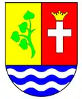 Coat of arms | |
Location of Schlagsdorf
within Nordwestmecklenburg district
| |
Location of Schlagsdorf | |
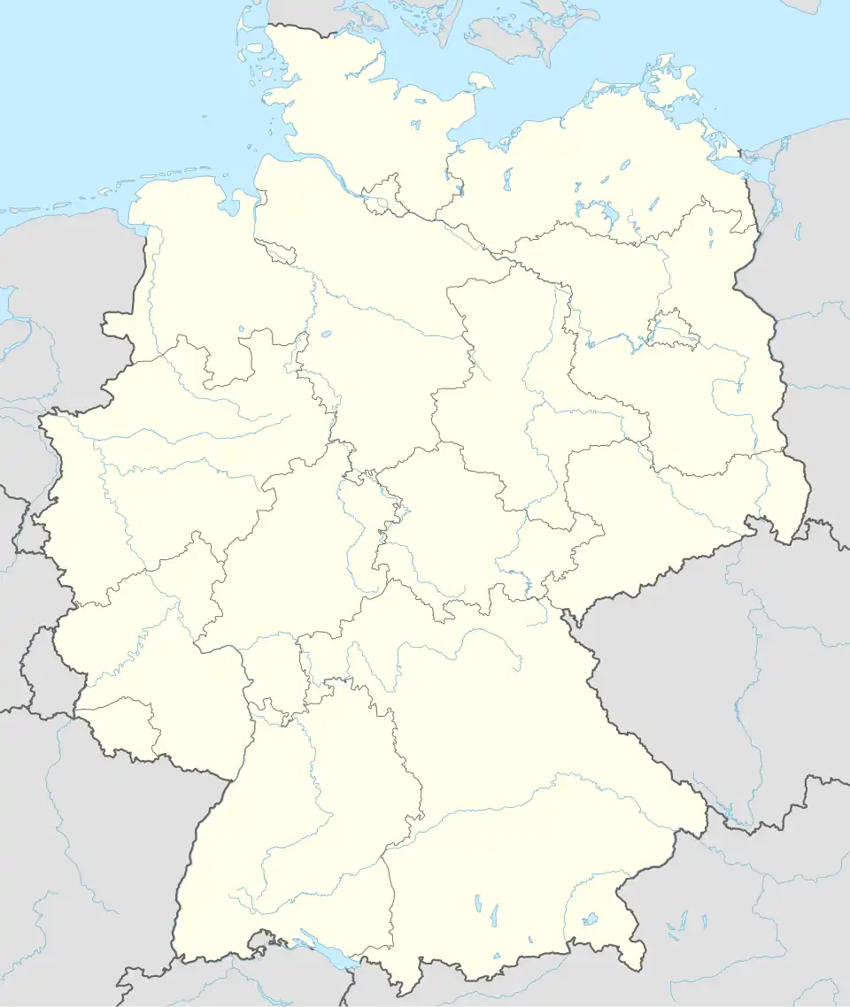  Schlagsdorf  Schlagsdorf | |
| Coordinates: 53°43′N 10°49′E / 53.717°N 10.817°E | |
| Country | Germany |
| State | Mecklenburg-Vorpommern |
| District | Nordwestmecklenburg |
| Municipal assoc. | Rehna |
| Government | |
| • Mayor | Ingo Melchin |
| Area | |
• Total | 20.12 km2 (7.77 sq mi) |
| Elevation | 39 m (128 ft) |
| Population (2023-12-31)[1] | |
• Total | 1,258 |
| • Density | 62.52/km2 (161.9/sq mi) |
| Time zone | UTC+01:00 (CET) |
| • Summer (DST) | UTC+02:00 (CEST) |
| Postal codes | 19217 |
| Dialling codes | 038875 |
| Vehicle registration | NWM |

Schlagsdorf is a municipality in the Nordwestmecklenburg district, in Mecklenburg-Vorpommern, Germany. Until the Wende it was located at the inner German border.
References
- ^ "Alle politisch selbständigen Gemeinden mit ausgewählten Merkmalen am 31.12.2023" (in German). Federal Statistical Office of Germany. 28 October 2024. Retrieved 16 November 2024.
