Reyhanabad, West Azerbaijan
Reyhanabad
| |
|---|---|
Village | |
 Assyrian church of St. George (left) and Armenian church of St. Mary (right) in Reyhanabad | |
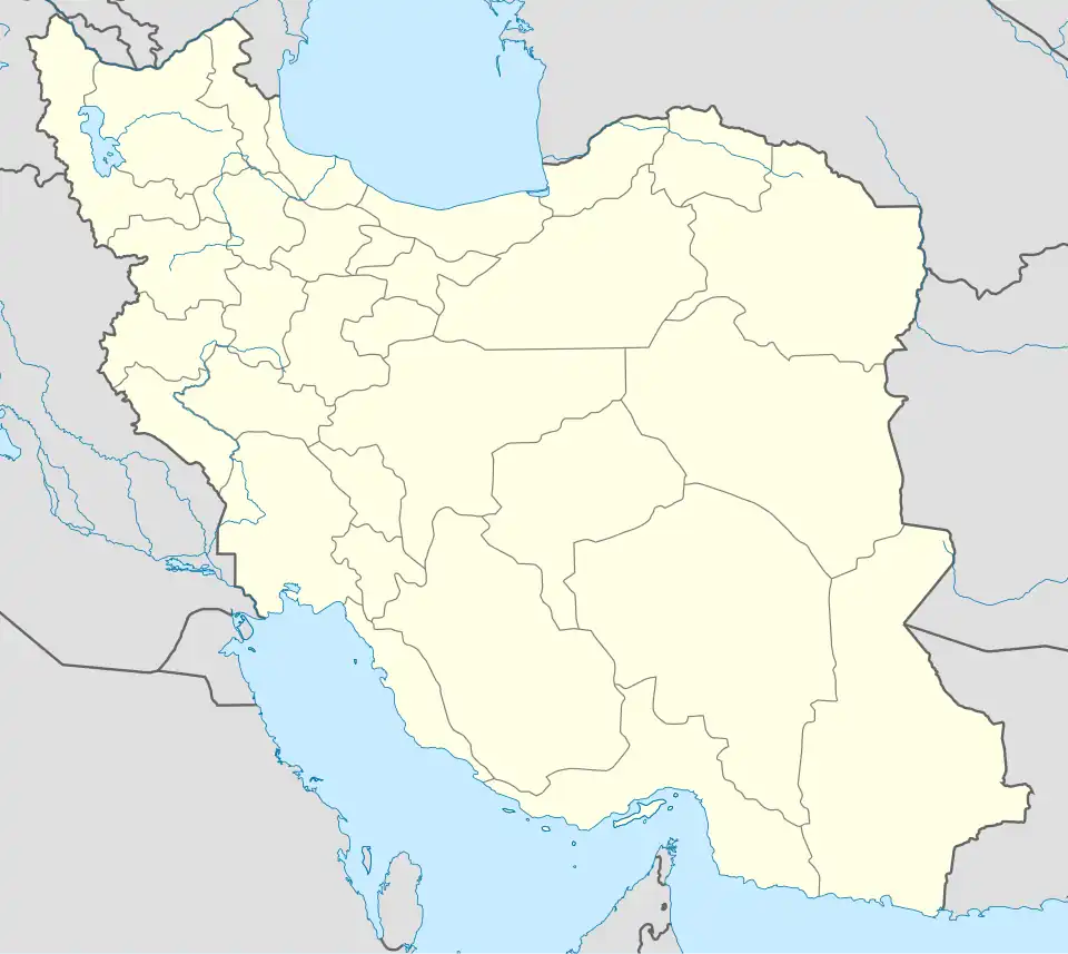  Reyhanabad | |
| Coordinates: 37°34′35″N 45°06′57″E / 37.57639°N 45.11583°E[1] | |
| Country | Iran |
| Province | West Azerbaijan |
| County | Urmia |
| District | Central |
| Rural District | Bakeshluchay |
| Population (2016)[2] | |
• Total | 10,536 |
| Time zone | UTC+3:30 (IRST) |
Reyhanabad (Persian: ریحانآباد)[a] is a village in Bakeshluchay Rural District[4] of the Central District in Urmia County, West Azerbaijan province, Iran.
There are two churches in this village, built side by side:
- St. George Church (Mar Gevargiz), belonging to Assyrian Church of the East.[5]
- Holy Mother of God (Surp Astvadsadsin), belonging to Armenian Apostolic Church.[6]
Demographics
Population
At the time of the 2006 National Census, the village's population was 6,125 in 1,530 households.[7] The following census in 2011 counted 8,497 people in 2,371 households.[8] The 2016 census measured the population of the village as 10,536 people in 2,992 households. It was the most populous village in its rural district.[2]
See also
Notes
References
- ^ OpenStreetMap contributors (28 September 2024). "محمدآباد, شهرک پردیس [Mohammadabad, Shahrak-e Pardis], Reyhanabad, Urmia, بخش مرکزی [Central District], Urumia County, West Azerbaijan Province, 57136-35574, Iran" (Map). OpenStreetMap (in Persian). Retrieved 28 September 2024.
- ^ a b سرشماري عمومي نفوس و مسكن 1395 : استان آذربایجان غربی [General Population and Housing Census 2016: West Azerbaijan Province]. مرکز آمار ایران [Statistical Centre of Iran] (in Persian). Archived from the original (Excel) on 30 August 2022. Retrieved 19 December 2022.
- ^ Reyhanabad can be found at GEOnet Names Server, at this link, by opening the Advanced Search box, entering "-3813542" in the "Unique Feature Id" form, and clicking on "Search Database".
- ^ Mousavi, Mir-Hossein (22 April 1987) [تاریخ تصویب (Approval date) 1366/02/02 (Iranian Jalali calendar)]. ایجاد و تشکیل 20 دهستان شامل روستاها، مزارع و مکانهای در شهرستان ارومیه تابع استان آذربایجان غربی [Creation and formation of 20 rural districts including villages, farms and places in Urmia County under West Azerbaijan province]. لام تا کام [Lam ta Kam] (in Persian). وزارت کشور [Ministry of the Interior]. هیات وزیران [Council of Ministers]. شناسه [ID] 7DD016E4-E840-4986-9FDD-044DD3A0B2EE. شماره دوره [Course number] 66. Archived from the original on 2 November 2025. Retrieved 2 November 2025.
- ^ "بازگشایی قدیمیترین کلیسای روستای ریحان آباد ارومیه" [Reopening of the oldest church in the village of Reyhan Abad, Urmia] (in Persian). mizanonline.ir. Retrieved 10 December 2024.
- ^ "کلیسای حضرت مریم ریحان آباد" [Holy Mary Church of Reyhanabad] (in Persian). paymanonline.ir. Retrieved 10 December 2024.
- ^ سرشماري عمومي نفوس و مسكن 1385 : استان آذربایجان غربی [General Population and Housing Census 2006: West Azerbaijan Province]. مرکز آمار ایران [Statistical Centre of Iran] (in Persian). Archived from the original (Excel) on 20 September 2011. Retrieved 25 September 2022.
- ^ سرشماري عمومي نفوس و مسكن 1390 : استان آذربایجان غربی [General Population and Housing Census 2011: West Azerbaijan Province]. Iran Data Portal—Syracuse University (in Persian). مرکز آمار ایران [Statistical Centre of Iran]. Archived from the original (Excel) on 20 January 2023. Retrieved 19 December 2022.
West Azerbaijan province, Iran | ||
|---|---|---|
| Capital |  | |
| Counties and cities | ||
| Tourism | ||
| Places | ||