Rajavaram (Rowthulapudi mandal)
Rajavaram | |
|---|---|
village | |
Interactive map of Rajavaram | |
.svg.png)  Rajavaram Location in Andhra Pradesh, India 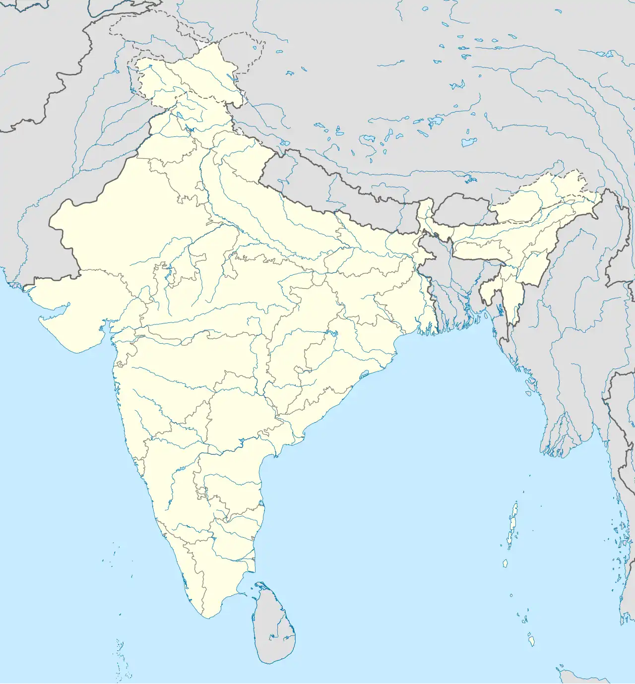 Rajavaram Rajavaram (India) | |
| Coordinates: 17°02′24″N 81°22′18″E / 17.0401°N 81.3718°E | |
| Country |  India India |
| State | Andhra Pradesh |
| District | Kakinada district |
| Area | |
• Total | 9.29 km2 (3.59 sq mi) |
| Population (2011) | |
• Total | 1,199 |
| • Density | 1,800/km2 (4,700/sq mi) |
| Languages | |
| • Official | Telugu |
| Time zone | UTC+5:30 (IST) |
| Postal code | 533407 |
Rajavaram is a village in Rowthulapudi mandal, Kakinada district in the state of Andhra Pradesh in India.
Geography
Rajavaram is located at 17°26′49″N 82°24′18.2″E / 17.44694°N 82.405056°E.
Demographics
As of 2011 India census, Rajavaram had a population of 1,199.[1]
References
- ^ "Rajavaram Village Census 2011" (PDF).