Narihualá
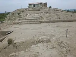 Panoramic view of Narihualá | |
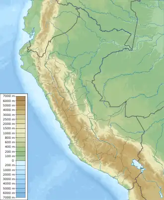 .svg.png) Narihualá Shown within Peru  Narihualá Narihualá (South America) | |
Click on the map for a fullscreen view | |
| Alternative name | Huaca Narihualá |
|---|---|
| Location | Catacaos District, Piura Province, Piura Region, Peru |
| Region | Piura valley (North of Peru) |
| Coordinates | 5°17′40″S 80°41′13″W / 5.294477°S 80.687059°W |
| Altitude | 22 m (72 ft) |
| Type | Settlement |
| History | |
| Builder | Tallán culture |
| Material | Adobe |
| Cultures | Tallán |
| Site notes | |
| Ownership | Peruvian Government |
| Public access | Yes |
Narihualá is an archaeological site in Peru. It is located in the Piura Region, Catacaos District a 17 km south of Piura. Is considered the capital of the Tallán Nation and is the most important architectural evidence of a great monument, both in its size and the prominent platforms of two pyramids.[1]
References
- ^ "MUSEUM OF PLACE DE NARIHUALA". perutouristguide.com. Retrieved September 23, 2017.
External links

Wikimedia Commons has media related to Narihualá.