Nangavaram, Uppalaguptam Mandal
Nangavaram | |
|---|---|
village | |
Interactive map of Nangavaram | |
.svg.png)  Nangavaram Location in Andhra Pradesh, India 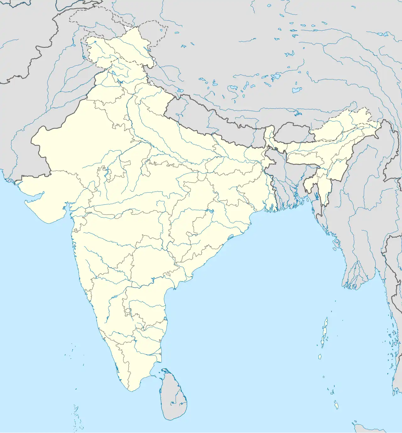 Nangavaram Nangavaram (India) | |
| Coordinates: 16°35′05″N 82°04′35″E / 16.5846°N 82.0764°E | |
| Country |  India India |
| State | Andhra Pradesh |
| District | Dr. B.R. Ambedkar Konaseema |
| Area | |
• Total | 3 km2 (1.2 sq mi) |
| Population (2011) | |
• Total | 1,531 |
| • Density | 576/km2 (1,490/sq mi) |
| Languages | |
| • Official | Telugu |
| Time zone | UTC+5:30 (IST) |
| Postal code | 533 446 |
Nangavaram is a village in Uppalaguptam Mandal, Dr. B.R. Ambedkar Konaseema district in the state of Andhra Pradesh in India.[1]
Geography
Nangavaram is located at 16°35′05″N 82°04′35″E / 16.5846°N 82.0764°E.
Demographics
As of 2011 India census, Nangavaram had a population of 1531, out of which 786 were male and 745 were female. The population of children below 6 years of age was 9%. The literacy rate of the village was 77%.[2]
References
- ^ "Mandal wise list of villages in East Godavari district" (PDF). Chief Commissioner of Land Administration. National Informatics Centre. Archived from the original (PDF) on 21 January 2015. Retrieved 7 March 2016.
- ^ "Nangavaram Village Census 2011" (PDF).