Mir Shams ol Din Rural District
Mir Shams ol Din Rural District
دهستان میرشمسالدین | |
|---|---|
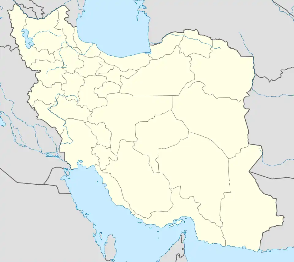  Mir Shams ol Din Rural District | |
| Coordinates: 36°47′N 50°55′E / 36.783°N 50.917°E[1][2] | |
| Country | Iran |
| Province | Mazandaran |
| County | Tonekabon |
| District | Central |
| Established | 2003[3] |
| Capital | Mir Shams ol Din |
| Population (2016)[4] | |
• Total | 8,736 |
| Time zone | UTC+3:30 (IRST) |
Mir Shams ol Din Rural District (Persian: دهستان میرشمسالدین)[5] is in the Central District of Tonekabon County, Mazandaran province, Iran. Its capital is the village of Mir Shams ol Din.[3]
Demographics
Population
At the time of the 2006 National Census, the rural district's population was 8,270 in 2,402 households.[6] There were 8,838 inhabitants in 2,651 households at the following census of 2011.[7] The 2016 census measured the population of the rural district as 8,736 in 2,849 households. The most populous of its eight villages was Valiabad, with 3,548 people.[4]
Other villages in the rural district
See also
References
- ^ OpenStreetMap contributors (22 January 2026). "شهرک لادن, شهرک اسلام آباد, میرشمس الدین, دهستان میر شمس الدین, بخش مرکزی شهرستان تنکابن [Shahrak-e Ladan, Shahrak-e Eslamabad, Mir Shams ol Din, Mir Shams ol Din Rural District, Central District of Tonekabon County], Tonekabon County, Mazandaran Province, 46841-79148, Iran" (Map). OpenStreetMap (in Persian). Retrieved 22 January 2026.
- ^ "QWM8+8MM Shahrak-e Eslamabad, Mazandaran Province, Iran" (Map). Google Maps. Retrieved 22 January 2026.
- ^ a b Aref, Mohammad Reza (2 February 2003) [تاریخ تصویب (Approval date) 1381/11/13 (Iranian Jalali calendar)]. تصویب اصلاحات تقسیماتی در استان مازندران [Approval of divisional reforms in Mazandaran province]. لام تا کام [Lam ta Kam] (in Persian). وزارت کشور [Ministry of the Interior]. کمیسیون سیاسی دفاعی هیأت دولت [Political Defense Commission of the Government Board]. شناسه [ID] 53FA95DE-E149-4DCF-ABBE-A01C5B2DE012. Archived from the original on 14 January 2024. Retrieved 18 January 2026.
- ^ a b سرشماري عمومي نفوس و مسكن 1395 : استان مازندران [General Population and Housing Census 2016: Mazandaran Province]. مرکز آمار ایران [Statistical Centre of Iran] (in Persian). Archived from the original (Excel) on 7 October 2021. Retrieved 19 December 2022.
- ^ "INCSGN Search". Iranian National Committee for Standardization of Geographical Names (in Persian). Tehran: National Cartographic Center of Iran. Archived from the original on 2 May 2019.
- ^ سرشماري عمومي نفوس و مسكن 1385 : استان مازندران [General Population and Housing Census 2006: Mazandaran Province]. مرکز آمار ایران [Statistical Centre of Iran] (in Persian). Archived from the original (Excel) on 20 September 2011. Retrieved 25 September 2022.
- ^ سرشماري عمومي نفوس و مسكن 1390 : استان مازندران [General Population and Housing Census 2011: Mazandaran Province]. Iran Data Portal—Syracuse University (in Persian). مرکز آمار ایران [Statistical Centre of Iran]. Archived from the original (Excel) on 19 January 2023. Retrieved 19 December 2022.