Maungakōtukutuku Stream
| Maungakōtukutuku Stream | |
|---|---|
Route of the Maungakōtukutuku Stream | |
.png)  Mouth of the Maungakōtukutuku Stream 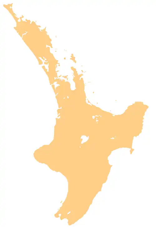 Maungakōtukutuku Stream (North Island) | |
| Location | |
| Country | New Zealand |
| Physical characteristics | |
| Source | |
| • location | Tararua Range |
| • coordinates | 40°59′52″S 175°00′07″E / 40.99788°S 175.00182°E |
| Mouth | |
• location | Waikanae River |
• coordinates | 40°54′09″S 175°04′16″E / 40.90258°S 175.07112°E |
| Basin features | |
| Progression | Maungakōtukutuku Stream → Waikanae River → Rauoterangi Channel → South Taranaki Bight → Tasman Sea |
| Landmarks | Akatarawa Forest, Reikorangi |
The Maungakōtukutuku Stream is a stream on the Kāpiti Coast of New Zealand's North Island. Its headwaters are in the Maungakotukutuku area and it is a tributary of the Waikanae River. Consideration has been given to damming the stream in order to increase the Kāpiti Coast's water supply.
See also
References
- Proposed Dam Site, Kapiti Coast District: Prefeasibility Fault Hazard Assessment (PDF file)
- "Place name detail: Maungakōtukutuku Stream". New Zealand Gazetteer. Land Information New Zealand. Retrieved 6 January 2026.