Katerynivka, Luhansk Oblast
Katerynivka
Ukrainian: Katerynivka | |
|---|---|
.jpg) | |
 Flag 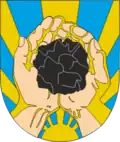 Coat of arms | |
Interactive map of Katerynivka | |
  Katerynivka Location of Yuvileine 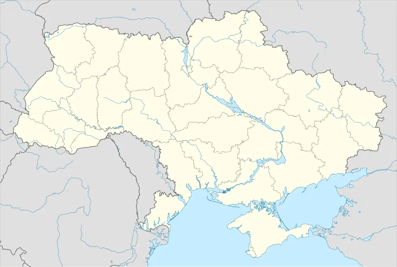 Katerynivka Katerynivka (Ukraine) | |
| Coordinates: 48°33′11″N 39°10′27″E / 48.55306°N 39.17417°E | |
| Country |  Ukraine Ukraine |
| Oblast | Luhansk Oblast |
| Raion | Luhansk Raion |
| Hromada | Luhansk urban hromada |
| Elevation | 84 m (276 ft) |
| Population (2022) | |
• Total | 16,311 |
| [1] | |
| Postal code | 91493 |
| Area code | +380 642 |
Katerynivka (Ukrainian: Катеринівка) is a rural settlement in Luhansk urban hromada, Luhansk Raion, Luhansk Oblast (region), Ukraine. Population: 16,311 (2022 estimate)[1]
The city was formerly named Yuvileine (Ukrainian: Ювілейне; Russian: Юбиле́йное), as part of the Soviet Union, and during its early years following Ukrainian independence. On 12 May 2016 it was renamed Katerynivka by the Ukrainian government in a systematic renaming of small cities as part of decommunization.[3]
As of 2022, the city is under the control of the Russian military as a part of the invasion of Ukraine and occupation, but that annexation by Russia has not been accepted by the international community. The city was previously controlled by the self-declared Luhansk People's Republic.
References
- ^ a b Чисельність наявного населення України на 1 січня 2022 [Number of Present Population of Ukraine, as of January 1, 2022] (PDF) (in Ukrainian and English). Kyiv: State Statistics Service of Ukraine. Archived (PDF) from the original on 4 July 2022.
- ^ "Yuvileine (Luhansk Oblast, Luhansk Municipality)". weather.in.ua. Retrieved 8 February 2022.
- ^ "Rada renames some population areas in occupied Donbas as part of decommunization campaign". Interfax-Ukraine. 12 May 2016. Retrieved 20 July 2016.