Estarabad Rural District
Estarabad Rural District
Persian: دهستان استرآباد | |
|---|---|
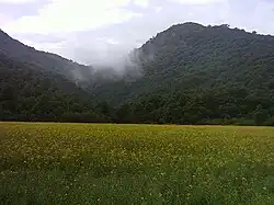 Road from Fazelabad to the highlands of the rural district | |
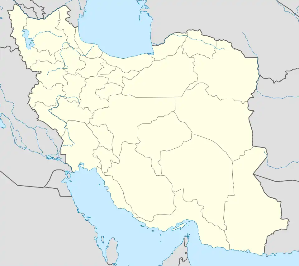  Estarabad Rural District | |
| Coordinates: 36°46′N 54°49′E / 36.767°N 54.817°E[1][2] | |
| Country | Iran |
| Province | Golestan |
| County | Aliabad-e Katul |
| District | Kamalan |
| Established | 1987[3] |
| Capital | Fazelabad |
| Population (2016)[4] | |
• Total | 9,170 |
| Time zone | UTC+3:30 (IRST) |
Estarabad Rural District (Persian: دهستان استرآباد) is in Kamalan District of Aliabad-e Katul County,[a] Golestan province, Iran. It is administered from the city of Fazelabad.[3]
Demographics
Population
At the time of the 2006 National Census, the rural district's population was 9,320 in 2,391 households.[6] There were 9,820 inhabitants in 3,022 households at the following census of 2011.[7] The 2016 census measured the population of the rural district as 9,170 in 2,896 households. The most populous of its 20 villages was Rahmatabad, with 4,324 people.[4]
Other villages in the rural district
- Abbasabad
- Alaman
- Alestan
- Barfatan
- Chah-e Ja
- Cheli-ye Olya
- Cheli-ye Sofla
- Ganu
- Khulin Darreh
- Mahian
- Mohammadabad
- Nersu
- Qaribabad
- Rig Cheshmeh
- Siah Marz Kuh
- Tavir
- Vasi Sar
Gallery
.jpg)


See also
Notes
- ^ Formerly Aliabad County[5]
References
- ^ OpenStreetMap contributors (5 December 2025). "دهستان استرآباد, بخش کمالان [Estarabad Rural District, Kamalan District], Aliabad County, Golestan Province, Iran" (Map). OpenStreetMap (in Persian). Retrieved 5 December 2025.
- ^ "QR88+MM7 Nerso, Golestan Province, Iran" (Map). Google Maps. Retrieved 5 December 2025.
- ^ a b Mousavi, Mir-Hossein (22 April 1987) [تاریخ تصویب (Approval date) 1366/02/02 (Iranian Jalali calendar)]. ایجاد و تشکیل تعداد 2 دهستان شامل روستاها، مزارع و مکانها در شهرستان علی آباد تابع استان مازندران [Creation and formation of 2 rural districts including villages, farms and places in Aliabad County, Mazandaran province]. لام تا کام [Lam ta Kam] (in Persian). وزارت کشور [Ministry of the Interior]. هیات وزیران [Council of Ministers]. شناسه [ID] 7D0D82EB-5E70-451D-98FC-94A080839490. شماره دوره [Course number] 6, شماره جلد [Volume number] 2. Archived from the original on 14 February 2024. Retrieved 5 December 2025.
- ^ a b سرشماري عمومي نفوس و مسكن 1395 : استان گلستان [General Population and Housing Census 2016: Golestan Province]. مرکز آمار ایران [Statistical Centre of Iran] (in Persian). Archived from the original (Excel) on 29 March 2019. Retrieved 19 December 2022.
- ^ Jahangiri, Eshaq (4 January 2020) [۱۳۹۸/۱۰/۱۴ (1398/10/14) (Iranian Jalali calendar)]. تصویبنامه در خصوص تغییر نام شهرستان علیآباد استان گلستان به علیآباد کتول [Approval regarding changing the name of Aliabad County, Golestan province, to Aliabad-e Katul]. پژوهشکده حقوقی شهر دانش [Shahr Danesh Law Research Institute] (in Persian). وزارت کشور [Ministry of the Interior]. هیات وزیران [Council of Ministers]. پیشنهاد شماره ۱۳۳۴۲۸ [Proposal No. 133428]. Archived from the original on 24 March 2023. Retrieved 5 December 2025.
- ^ سرشماري عمومي نفوس و مسكن 1385 : استان گلستان [General Population and Housing Census 2006: Golestan Province]. مرکز آمار ایران [Statistical Centre of Iran] (in Persian). Archived from the original (Excel) on 20 September 2011. Retrieved 25 September 2022.
- ^ سرشماري عمومي نفوس و مسكن 1390 : استان گلستان [General Population and Housing Census 2011: Golestan Province]. Iran Data Portal—Syracuse University (in Persian). مرکز آمار ایران [Statistical Centre of Iran]. Archived from the original (Excel) on 17 January 2023. Retrieved 19 December 2022.
Golestan province, Iran | ||
|---|---|---|
| Capital | 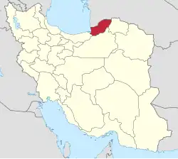 | |
| Counties and cities | ||
| Sights |
| |
| populated places | ||
| Capital | |||||||||||||||||||||||||
|---|---|---|---|---|---|---|---|---|---|---|---|---|---|---|---|---|---|---|---|---|---|---|---|---|---|
| Districts |
| ||||||||||||||||||||||||