Cetățeni
Cetățeni | |
|---|---|
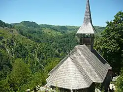
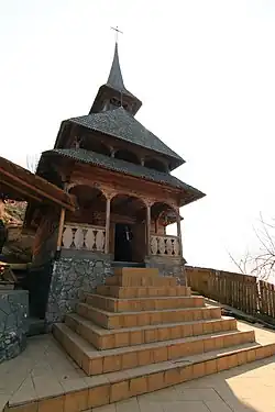 Church at Negru Vodă Hermitage | |
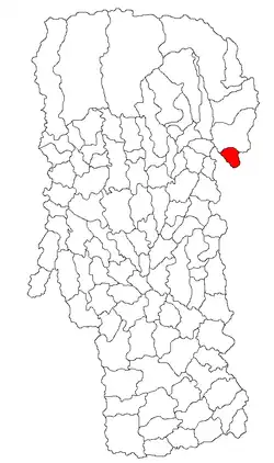 Location in Argeș County | |
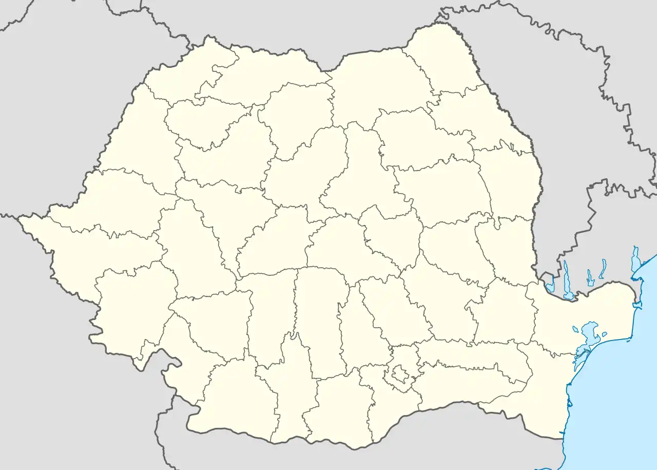  Cetățeni Location in Romania | |
| Coordinates: 45°12′N 25°11′E / 45.200°N 25.183°E | |
| Country | Romania |
| County | Argeș |
| Government | |
| • Mayor (2020–2024) | Ion-Mugurel Minciună[2] (PSD) |
Area | 34 km2 (13 sq mi) |
| Elevation | 496 m (1,627 ft) |
| Population (2021-12-01)[1] | 2,732 |
| • Density | 80/km2 (210/sq mi) |
| Time zone | UTC+02:00 (EET) |
| • Summer (DST) | UTC+03:00 (EEST) |
| Postal code | 117240 |
| Vehicle reg. | AG |
| Website | www |
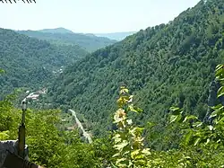
Cetățeni is a commune in Argeș County, Muntenia, Romania. It is composed of three villages: Cetățeni, Lăicăi, and Valea Cetățuia.
The commune is situated at a distance of 91 km (57 mi) from Pitești and 25 km (16 mi) from Câmpulung, right next to Dâmbovița County. The neighboring communes are: Stoenești to the north, Pucheni to the east, Malu cu Flori to the south, Văleni to the west, and Mioarele to the northwest.
Cetățuia Monastery is located here.[3]
References
- ^ "2021 Romanian census". National Institute of Statistics. 1 December 2021.
- ^ "Results of the 2020 local elections". Central Electoral Bureau. Retrieved 8 June 2021.
- ^ "Mănăstirea Cetățuia – Negru Vodă". cetatuiamuscel.ro (in Romanian). Retrieved August 31, 2020.