Birun Bashm Rural District
Birun Bashm Rural District
Persian: دهستان بيرونبشم | |
|---|---|
 Foggy landscape in Bashm Rural District | |
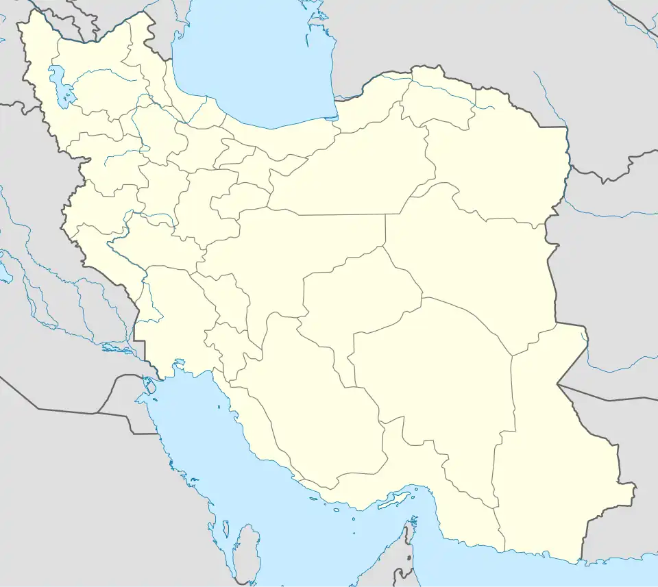  Birun Bashm Rural District | |
| Coordinates: 36°28′N 51°14′E / 36.467°N 51.233°E[1] | |
| Country | Iran |
| Province | Mazandaran |
| County | Chalus |
| District | Marzanabad |
| Established | 1987[2] |
| Capital | Guytar |
| Population (2016)[3] | |
• Total | 6,678 |
| Time zone | UTC+3:30 (IRST) |
Birun Bashm Rural District (Persian: دهستان بيرونبشم)[4] is in Marzanabad District of Chalus County, Mazandaran province, Iran.[5] Its capital is the village Guytar.[2][a]
Demographics
Population
At the time of the 2006 National Census, the rural district's population (as a part of the former Kelardasht District) was 5,852 in 1,602 households.[6] There were 5,865 inhabitants in 1,923 households at the following census of 2011,[7] by which time the rural district had been separated from the district in the formation of Marzanabad District.[5] The 2016 census measured the population of the rural district as 6,678 in 2,348 households. The most populous of its 37 villages was Guytar,[a] with 1,307 people.[3]
Other villages in the rural district
See also
Notes
- ^ a b Formerly known as Guytar-e Sofla
References
- ^ OpenStreetMap contributors (3 January 2026). "Marzan Abad, دهستان بیرون بشم, بخش مرزن آباد [Birun Bashm Rural District, Marzanabad District], Chalus County, Mazandaran Province, Iran" (Map). OpenStreetMap (in Persian). Retrieved 3 January 2026.
- ^ a b Mousavi, Mir-Hossein (22 April 1987) [تاریخ تصویب (Approval date) 1366/02/02 (Iranian Jalali calendar)]. قوانین و مقررات › ایجاد و تشکیل تعداد 11 دهستان شامل روستاها، مزارع و مکانهای واقع در شهرستان نوشهر تابعه استان مازندران [Creation and formation of 11 rural districts including villages, farms and places in Nowshahr County, Mazandaran province]. مرکز پژوهشهای مجلس شورای اسلامی ایران [Research Center of the Islamic Consultative Assembly of Iran] (in Persian). وزارت کشور [Ministry of the Interior]. هیات وزیران [Council of Ministers]. پیشنهاد شماره [Proposal No.] 11263.5.53. Archived from the original on 4 December 2012. Retrieved 2 January 2026.
- ^ a b سرشماري عمومي نفوس و مسكن 1395 : استان مازندران [General Population and Housing Census 2016: Mazandaran Province]. مرکز آمار ایران [Statistical Centre of Iran] (in Persian). Archived from the original (Excel) on 7 October 2021. Retrieved 19 December 2022.
- ^ "INCSGN Search". Iranian National Committee for Standardization of Geographical Names (in Persian). Tehran: National Cartographic Center of Iran. Archived from the original on 2 May 2019.
- ^ a b Rahimi, Mohammad Reza (14 April 2010) [مصوب (Approved on) 1389/01/25 (Iranian Jalali calendar)]. اصلاحات و تغييرات تقسيماتي در شهرستان چالوس [Reforms and changes in the divisions in Chalus County]. سامانه ملی قوانین و مقررات [National System of Laws and Regulations] (in Persian). وزارت کشور [Ministry of the Interior]. کمیسیون سیاسی دفاعی هیأت دولت [Political Defense Commission of the Government Board]. پيشنهاد شماره [Proposal number] 1/4/42/126342. Archived from the original on 25 May 2023. Retrieved 2 January 2026.
- ^ سرشماري عمومي نفوس و مسكن 1385 : استان مازندران [General Population and Housing Census 2006: Mazandaran Province]. مرکز آمار ایران [Statistical Centre of Iran] (in Persian). Archived from the original (Excel) on 20 September 2011. Retrieved 25 September 2022.
- ^ سرشماري عمومي نفوس و مسكن 1390 : استان مازندران [General Population and Housing Census 2011: Mazandaran Province]. Iran Data Portal—Syracuse University (in Persian). مرکز آمار ایران [Statistical Centre of Iran]. Archived from the original (Excel) on 19 January 2023. Retrieved 19 December 2022.