Arosio, Switzerland
Arosio | |
|---|---|
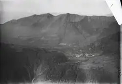 Aerial view from 1500 m by Walter Mittelholzer (1919) | |
 Flag 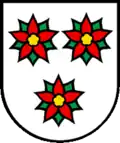 Coat of arms | |
Location of Arosio | |
  Arosio 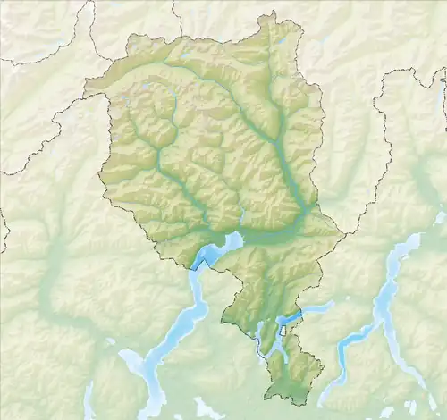 Arosio | |
| Coordinates: 46°02′52″N 8°54′05″E / 46.04778°N 8.90139°E | |
| Country | Switzerland |
| Canton | Ticino |
| District | Lugano |
| Area | |
• Total | 6.56 km2 (2.53 sq mi) |
| Elevation | 859 m (2,818 ft) |
| Population (December 2002) | |
• Total | 437 |
| • Density | 66.6/km2 (173/sq mi) |
| Time zone | UTC+01:00 (CET) |
| • Summer (DST) | UTC+02:00 (CEST) |
| Postal code | 6939 |
| SFOS number | 5145 |
| ISO 3166 code | CH-TI |
| Surrounded by | Bedano, Bioggio, Cademario, Gravesano, Manno, Mugena, Sigirino, Torricella-Taverne |
| Website | SFSO statistics |
Arosio is a village and former municipality in the canton of Ticino, Switzerland.
In 2005 the municipality was merged with the other, neighboring municipalities Breno, Fescoggia, Mugena and Vezio to form a new and larger municipality Alto Malcantone.[1]
Location
The village comprised the amalgamated settlements Terra di sopra and Terra di sotto.
Historic population
The historical population is given in the following table:
| Year | Population Arosio[2] |
|---|---|
| 1599 | ca. 300 |
| 1801 | 221 |
| 1850 | 232 |
| 1900 | 186 |
| 1950 | 197 |
| 2000 | 422 |
Notes
- ^ Amtliches Gemeindeverzeichnis der Schweiz published by the Swiss Federal Statistical Office (in German) accessed 14 January 2010
- ^ "Arosio" in German, French and Italian in the online Historical Dictionary of Switzerland.
References
- "Arosio" in German, French and Italian in the online Historical Dictionary of Switzerland.